Link: https://gis.khm.gov.ua
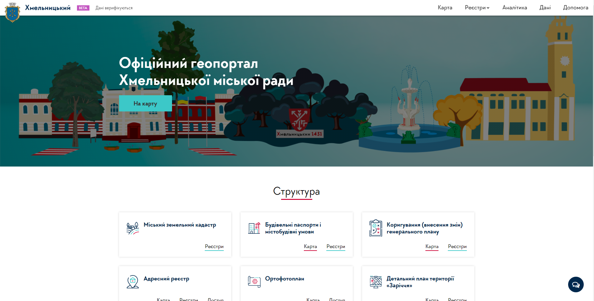
From now on, the information about the city's subjects of property and facilities is available 24/7 in a convenient form on a digital map and in the form of registers. In the open access, you can find urban planning documentation, building permits, permits for advertising structures, temporary constructions, official address register and lease agreements for the municipal land property.
Citizens are able to check on-line the permits of the temporary buildings and advertising structures. The historical maps were downloaded for those interested in the past of our city. Thanks to the geoportal, there is an opportunity to develop private digital services, as a result, there is an access to data through the API, the ability to download data in a computer-compatible form and automatically connect to digital maps.
The workers of the executive bodies have begun to verify the data so that we can be sure of its accurateness and relevance.
The portal was created owing to the support of the American people through the United States Agency for International Development (USAID).